The Pilot
About Me
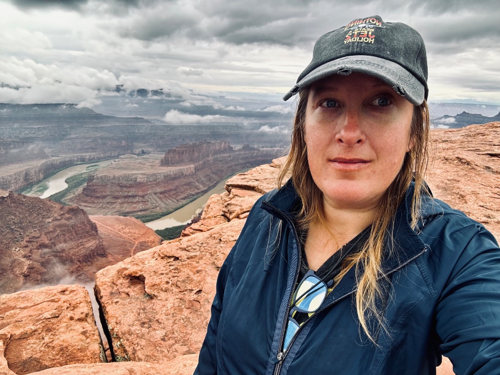
Angie is a Certified Part 107 Drone Pilot who loves to travel.
Born in the North and raised in the South, I grew up in the fast-moving rhythm of the Dallas area, but found my perspective in the wide-open spaces just beyond it. The scale of the Texas landscape, the back roads, the land, and the endless sky shaped how I see the world today.
I picked up drone photography out of pure curiosity, just wanting to see beyond the trail I was on. No plan. Just me and the sky. But the moment the drone lifted above the treeline, everything shifted. The world felt wider. Quieter. Freer. I wasn't just looking anymore, I was finally seeing.
Trails to Sky was born from that moment, from leaving the trail and rising above it, gaining a new perspective on the world below.
Today, I work with land developers and travel-focused projects to create high-quality aerial imagery that highlights scale, layout, and environment, helping clients present their properties with clarity, depth, and impact.
Knowledge Base
Drone Pilot Q&A
Regulations, Licensing & Safety
Aerial Photography & Equipment
Hiring a Drone Pilot
Contact
Let's Work Together
Trails to Sky is the perfect fit if you're a land developer wanting to showcase your property from above, a business looking to elevate your brand with stunning aerial visuals, or a traveler ready to capture a destination like never before.

